Skip to content
beta
This is a new service – your
feedback
will help us improve it.
Office for National Statistics logo
Release calendar
Methodology
Media
About
Blog
Menu
Search
Home
Business, industry and trade
Business
Changes to business
Construction industry
International trade
IT and internet industry
Manufacturing and production industry
Retail industry
Tourism industry
Economy
Economy
Economic output and productivity
Environmental accounts
Government, public sector and taxes
Gross Domestic Product (GDP)
Gross Value Added (GVA)
Inflation and price indices
Investments, pensions and trusts
National accounts
Regional accounts
Employment and labour market
People in work
People not in work
People, population and community
Births, deaths and marriages
Crime and justice
Cultural identity
Education and childcare
Elections
Health and social care
Household characteristics
Housing
Leisure and tourism
Personal and household finances
Population and migration
Well-being
Taking part in a survey?
Release calendar
Methodology
Media
About
Blog
English (EN) |
Cymraeg (CY)
Search for a keyword(s) or time series ID
Search
Home
Explore local statistics
United Kingdom
England
West Midlands
West Midlands
E12000005
Region in
England
Local indicators for the West Midlands
Health, education, economy, life satisfaction and more.
Explore local indicators
Find another area
Search for a place name or postcode
Upper-tier/combined authorities
Herefordshire
Shropshire
Staffordshire
Stoke-on-Trent
Telford and Wrekin
Warwickshire
West Midlands
Worcestershire
Parliamentary constituencies
Aldridge-Brownhills
Birmingham Edgbaston
Birmingham Erdington
Birmingham Hall Green and Moseley
Birmingham Hodge Hill and Solihull North
Birmingham Ladywood
Birmingham Northfield
Birmingham Perry Barr
Birmingham Selly Oak
Birmingham Yardley
Bromsgrove
Burton and Uttoxeter
Cannock Chase
Coventry East
Coventry North West
Coventry South
Droitwich and Evesham
Dudley
Halesowen
Hereford and South Herefordshire
Kenilworth and Southam
Kingswinford and South Staffordshire
Lichfield
Meriden and Solihull East
Newcastle-under-Lyme
North Herefordshire
North Shropshire
North Warwickshire and Bedworth
Nuneaton
Redditch
Rugby
Shrewsbury
Smethwick
Solihull West and Shirley
South Shropshire
Stafford
Staffordshire Moorlands
Stoke-on-Trent Central
Stoke-on-Trent North
Stoke-on-Trent South
Stone, Great Wyrley and Penkridge
Stourbridge
Stratford-on-Avon
Sutton Coldfield
Tamworth
Telford
The Wrekin
Tipton and Wednesbury
Walsall and Bloxwich
Warwick and Leamington
West Bromwich
West Worcestershire
Wolverhampton North East
Wolverhampton South East
Wolverhampton West
Worcester
Wyre Forest
Explore statistics about the West Midlands
Local indicators
See how the
West Midlands
compares to the rest of the UK across a variety of measures.
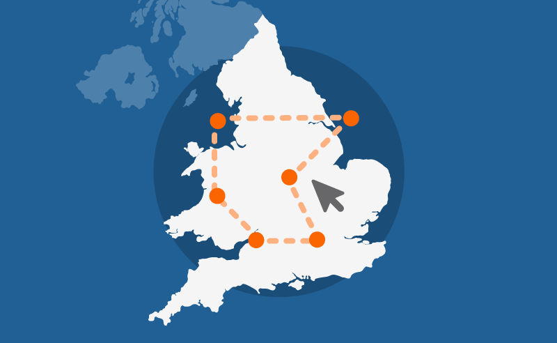
Custom profiles
Build a custom area profile for the
West Midlands
using Census 2021 data.
Area profiles
View Census 2021 data tables for the
West Midlands
on Nomis, an ONS service (external).
Census maps
View Census 2021 data for
England and Wales
on a map.