Skip to content
beta
This is a new service – your
feedback
will help us improve it.
Office for National Statistics logo
Release calendar
Methodology
Media
About
Blog
Menu
Search
Home
Business, industry and trade
Business
Changes to business
Construction industry
International trade
IT and internet industry
Manufacturing and production industry
Retail industry
Tourism industry
Economy
Economy
Economic output and productivity
Environmental accounts
Government, public sector and taxes
Gross Domestic Product (GDP)
Gross Value Added (GVA)
Inflation and price indices
Investments, pensions and trusts
National accounts
Regional accounts
Employment and labour market
People in work
People not in work
People, population and community
Births, deaths and marriages
Crime and justice
Cultural identity
Education and childcare
Elections
Health and social care
Household characteristics
Housing
Leisure and tourism
Personal and household finances
Population and migration
Well-being
Taking part in a survey?
Release calendar
Methodology
Media
About
Blog
English (EN) |
Cymraeg (CY)
Search for a keyword(s) or time series ID
Search
Home
Explore local statistics
United Kingdom
England
London
London
E12000007
Region in
England
Local indicators for London
Health, education, economy, life satisfaction and more.
Explore local indicators
Find another area
Search for a place name or postcode
Boroughs
Barking and Dagenham
Barnet
Bexley
Brent
Bromley
Camden
City of London
Croydon
Ealing
Enfield
Greenwich
Hackney
Hammersmith and Fulham
Haringey
Harrow
Havering
Hillingdon
Hounslow
Islington
Kensington and Chelsea
Kingston upon Thames
Lambeth
Lewisham
Merton
Newham
Redbridge
Richmond upon Thames
Southwark
Sutton
Tower Hamlets
Waltham Forest
Wandsworth
Westminster
Parliamentary constituencies
Barking
Battersea
Beckenham and Penge
Bermondsey and Old Southwark
Bethnal Green and Stepney
Bexleyheath and Crayford
Brent East
Brent West
Brentford and Isleworth
Bromley and Biggin Hill
Carshalton and Wallington
Chelsea and Fulham
Chingford and Woodford Green
Chipping Barnet
Cities of London and Westminster
Clapham and Brixton Hill
Croydon East
Croydon South
Croydon West
Dagenham and Rainham
Dulwich and West Norwood
Ealing Central and Acton
Ealing North
Ealing Southall
East Ham
Edmonton and Winchmore Hill
Eltham and Chislehurst
Enfield North
Erith and Thamesmead
Feltham and Heston
Finchley and Golders Green
Greenwich and Woolwich
Hackney North and Stoke Newington
Hackney South and Shoreditch
Hammersmith and Chiswick
Hampstead and Highgate
Harrow East
Harrow West
Hayes and Harlington
Hendon
Holborn and St Pancras
Hornchurch and Upminster
Hornsey and Friern Barnet
Ilford North
Ilford South
Islington North
Islington South and Finsbury
Kensington and Bayswater
Kingston and Surbiton
Lewisham East
Lewisham North
Lewisham West and East Dulwich
Leyton and Wanstead
Mitcham and Morden
Old Bexley and Sidcup
Orpington
Peckham
Poplar and Limehouse
Putney
Queen's Park and Maida Vale
Richmond Park
Romford
Ruislip, Northwood and Pinner
Southgate and Wood Green
Stratford and Bow
Streatham and Croydon North
Sutton and Cheam
Tooting
Tottenham
Twickenham
Uxbridge and South Ruislip
Vauxhall and Camberwell Green
Walthamstow
West Ham and Beckton
Wimbledon
Explore statistics about London
Local indicators
See how
London
compares to the rest of the UK across a variety of measures.
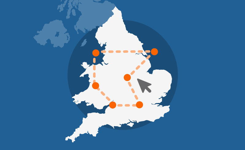
Custom profiles
Build a custom area profile for
London
using Census 2021 data.
Area profiles
View Census 2021 data tables for
London
on Nomis, an ONS service (external).
Census maps
View Census 2021 data for
England and Wales
on a map.